shadcn.io is an independent project built on shadcn/ui
Installation
Overview
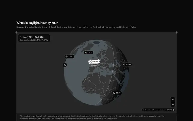
Find the hour a spread-out team can meet, with this meeting planner map for React with Ark UI. Crosshour, a tool for teams across time zones, puts fourteen cities on a live Map drawn as a globe that follows your theme, from San Francisco to Sydney. Pick up to five, on the globe or from the row of city buttons under it: each picked city joins the band below, its working day (09:00 to 17:00 local) laid on one 24-hour UTC axis, and an arc runs to it from the host's square marker. The hours every picked city shares are shaded across the band, and the card over the globe names them, "2 hours, 14:00–16:00 UTC", with the same hours in the host's own time; when there are none it names the best hour and how many it suits, and Go to moves the time there. A Slider moves a line across the band: the cities at work at that hour turn solid on the globe and say so in their row, with their local weekday and time. The house button in a row makes that city the host. Built from Map, Slider, Button and Guides. For remote teams, scheduling tools and any product that books calls across time zones.
FAQ
How is the overlap worked out?
The day is cut into 48 half hours of UTC. A city is at work in a half hour when its local time, UTC plus its offset, falls between 09:00 and 17:00. The overlap is the run of half hours in which every picked city is at work, read round the clock so a run can cross midnight; with no such run, the card takes the half hours where the most cities are at work and names the longest stretch of them.
What about daylight saving time?
The plan is for one fixed day, Tuesday 10 November 2026, and each city in LINES carries the offset it keeps that day (New York 5 hours behind UTC, Sydney 11 ahead, Bengaluru 5 and a half). In your app, compute the offsets for the meeting's date with Intl.DateTimeFormat and the cities' time zone names instead of typing them.
Where do the cities come from, and what stays local?
The fourteen cities are real places at their real coordinates, typed at the top of the file with their offsets; Crosshour and the team are invented. Nothing is fetched or sent except the globe's map tiles, and nothing is saved: picking cities, the host and the time all live in the block's own state.
Can I use it without a mouse?
Yes. Every city is a button in the row under the globe that picks or unpicks it, five at most; each row in the band has a host button and a remove button; the time is a slider that takes the arrow keys, Home and End, in half-hour steps. A polite message reads the overlap and how many cities are at work once a change settles.
How does it look on a phone?
The globe comes first, the overlap under it with its Go to button, then the city buttons, which wrap. The band keeps the same three columns, narrower: the city with its local time, the working day on the axis, and the remove button. Two fingers turn and zoom the globe.
How does the globe pick its view?
It turns to the middle of the picked cities on the sphere, so adding Tokyo to a European and American team swings it east, and sizes itself to about four fifths of the map's short side. Pan and zoom freely; the next change of cities aims it again, with no flight where reduced motion is on.